Day 113 – mile 1668 to near Killington Peak (mile 1689.6)

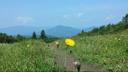
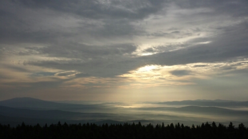
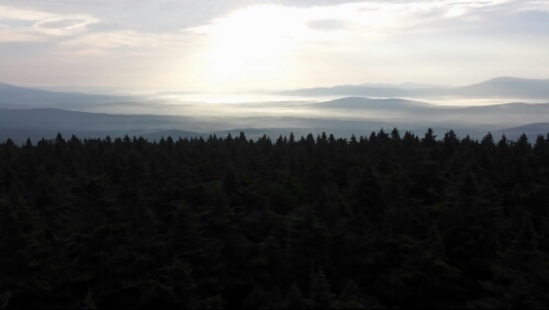
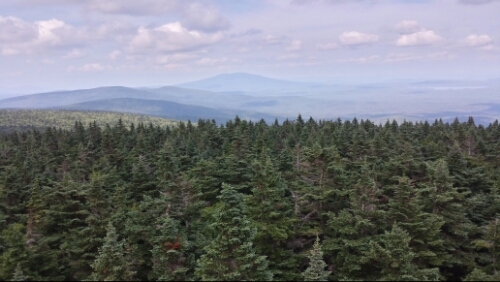
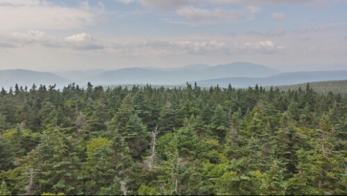
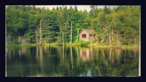
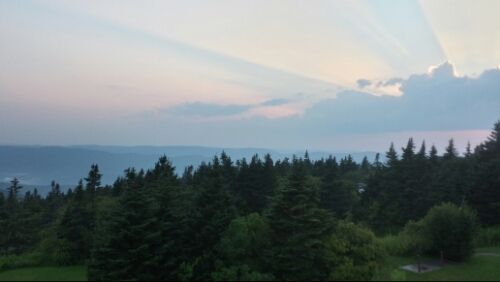
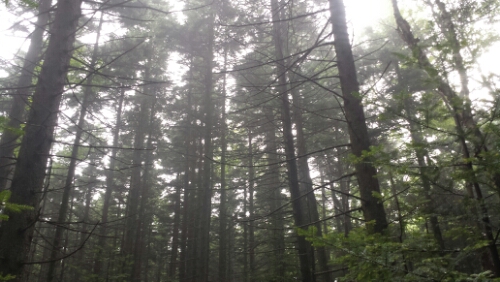
We had some light rain overnight, so everything this morning was good and slick. The pine forest was cool looking though as the morning sun burnt off the misty clouds.

image

Misty Vermont pine forest

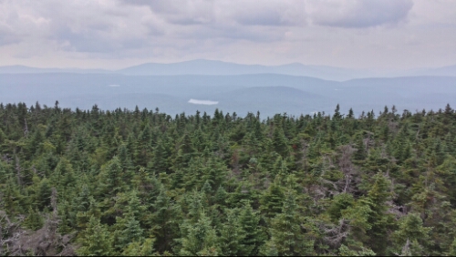
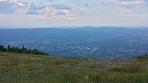
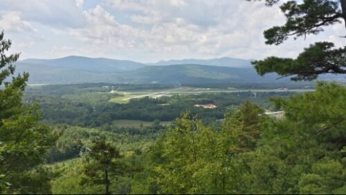
Once the humidity blew out, we had a fantastic weather day. We had a big day with lots of climbing, so that was great. We climbed Bear Mountain (I think every state has a Bear Mountain), Clarendon Gorge (which had a pretty high suspension bridge that I forgot to photograph), Beacon Hill, and then big nasty old Killington last. The climb out of the Gorge had a view of the Rutland Airport, which did not appear very busy.

image

Rutland airport. We ate lunch here and saw one tiny plane land.

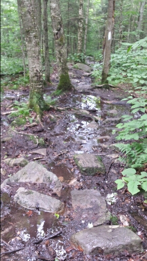
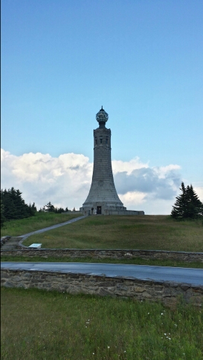
The climb up to Killington was long and got really rocky and root-filled towards the top, so it was a bit slow going at times. We made camp not quite at the summit, but my GPS tells me we are at 3844 feet, so we are close. Google maps also tells me we are super close to some of the ski trails on Killington here. The wind is blowing and it’s really cold up here tonight. Brrrrr…it’s a good thing we are meeting the supply team of Packy and Tapey tomorrow with our winter gear. I can’t believe I need my winter stuff in August. Anyway, we are really looking forward to tomorrow, which is a nearo, and Friday, which is a zero day, with Ma and Pa Hnatow!

Vital stats for Wednesday, August 6th –
Milestone – less than 500 miles left to Katahdin
Miles hiked today – 21.6
Mood – good and cold!
Smell – the cold does help keep the stanky stank contained
Song stuck in my head – Be Quiet And Drive (Far Away) by the Deftones
Day 112 – VT 11 & 30 to mile 1668

After some breakfast and a ride back to the trail from our awesome hosts, we got moving again under some sunny skies. Thanks again very much! We had a climb right from the trailhead up Bromley Mountain. The climb wasn’t too bad. The last quarter mile or so was literally right on a ski trail. This was pretty cool.

image

Bromley Mountain with trail snaking up the ski slope

It was a green circle trail, so pretty easy skiing!

Next up we climbed Styles Peak. Who would name a peak after that dude from One Direction? So weird, he’s totally going to be in rehab or jail in like 2 weeks probably, if he’s not already. I mean, he’s an amazing musician and a personal hero of mine and all, but I just find it strange. Anyway, it was a little steep, but not overly long of a climb. It went up to another one of great pine forests that Vermont has up above roughly 3000 feet. They are really dense with pine and just great to hike through.
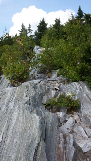
We had a brief scramble up some steep rock face to Baker Peak later in the afternoon.

image

Rocky slope up to Baker Peak, Trippy hiding behind tree

Most of the rest of the day was normal Vermont trail without any big views. We had about 15 minutes of storms and rain in the evening, which made all the roots and rocks nice and slippery.

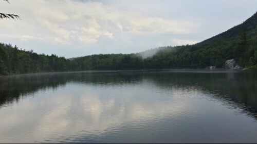
The last thing we passed was the very cool looking Little Rock Pond. Vermont has a lot of these neat mountain ponds. I think we’d call them lakes in PA for sure.

image

North Shore of Little Rock Pond

We hiked about another mile from there and camped not far off the trail near a footbridge and stream.

Tomorrow the weather looks better and we are planning a pretty big mileage day. These are probably the last few days we are going to try to do 20 mile days on our thru-hike, so that’s pretty crazy that we are basically almost out of the “easy” stuff.

Vital stats for Tuesday, August 5th :
Miles hiked today – 20.8
Mood – good
Physical state – a little tired, but no major ish
Smell – kinda musty and moldy
Song stuck in my head – Dirty Blue Balloons by Failure

Day 111 – North Side of Stratton Mountain to VT 11 & 30 (mile 1647.2)

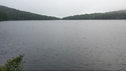
We slept in our stealth spot near the swamp last night. Easily our most stealthy spot. We woke up to some light rain, but it tapered off quickly. We broke camp and headed out towards Stratton Pond.

image

Stratton Pond

Most of the hiking today was flat and easy. We were between some of the bigger mountains in Vermont. We headed up towards the first major road we’ve seen since VT 9 a couple days ago. We waited for a brief time in the parking lot there for our super gracious hosts to pick us up. Trippy’s contacts from the “real” world were our trail angels today. They picked us up, let us crash at their house, do our laundry, clean our stinky selves up, borrow their car to get supplies in town, made us fabulous dinner, gave us loads of great drinks, and were just wonderful hosts overall. We couldn’t have asked for a more fantastic nearo day. Thank you guys very much!

Tomorrow we say goodbye to our awesome hosts and are back on the trail as usual. We are pushing hard the next two days to get to Killington by Thursday.

Vital stats for Monday, August 4th :
Miles hiked today – 11.2
Mood – thankful for all the generosity
Physical state – resting up
Smell – clean!
Song stuck in my head – In Keeping Secrets of Silent Earth : 3 by Coheed and Cambria

Day 110 – Glastenbury Mountain to North side of Stratton Mountain (mile 1636)

I got up this cold morning and climbed back up the lookout tower and enjoyed some more spectacular morning views from Glastenbury. It was really a great place to camp, other than the annoyance of some people noisily setting up their tent near us at 9:30pm or so last night. That’s way past hiker midnight and is not cool, man.

image

Epic morning sun and mist over Vermont

image

Vermont morning sun

The rest of the day we hiked towards Stratton Mountain, the next big mountain on the trail. The trail getting there was typical Vermont, with lots of roots, rocks, and mud to hop, skip, jump, and slog through. The climb up to Stratton was longer than the climbs we’ve had of late, but wasn’t overly steep or challenging. We seem to have our climbing legs back in action, as we zipped past some high school kids and numerous other day and weekend hikers.

Stratton also had a lookout tower like Glastenbury. The views were nice, but a bit hazy. The tower was really high up and the wind was shaking it pretty hard.

image

Stratton pond in the foreground

We hiked another 2.5 miles or so down the mountain and found a flat stealth spot back in the woods somewhat near a footbridge and stream.

Tomorrow is a nearo day in Manchester Center. Looking forward to an afternoon off before our push to Killington later in the week.

Vital stats for Sunday, August 3rd :
Milestone – less than a “Virginia” left to Katahdin (we use Virginia’s 550 miles as a barometer for a lot of longer distances). This also means we are 3/4 done.
Miles hiked today – 18.5
Mood – good
Physical state – normal
Smell – muddy muddy beast
Song stuck in my head – From Time by Drake

Day 109 – Stamford Stream to Glastenbury Mountain (mile 1617.5)

Today we started the hike with some more muddy trail under overcast skies. We hiked towards VT route 9 down a sharp descent and then promptly climbed back up from there. The weather stayed nice and clear and we saw it looks nice for the next few days here, so that was an instant morale boost. Then the trail got a bit nicer and less muddy on the north side of VT 9, which also helped boost the enthusiasm. The forests were nice and piney and much less of the swamp-like trails we had yesterday in northern Massachusetts and southern Vermont.

image

Typical Vermont mud swamp trail

We didn’t have a lot of sights for most of the day, but it was pretty pleasant hiking and it went fast.

We hiked up to Glastenbury Mountain at the end of the day. The climb was easy. We saw a whole bunch of south bound thru-hikers today. Seeing them is a daily occurrence now. There are also a good number of people out here doing sections and weekend backpacking.

Anyway, Glastenbury is a really neat forest that reminds me of the high altitude forests in the Smokies. The air is crisp and invigorating and the trees are almost all pines. At the top of the mountain is a lookout tower with some excellent views. This is what I’ve been missing for a long while. It’s great to be back in this kind of scenery. It really makes for a nice payoff to the hard work.

image

East views from Glastenbury

image

West views from Glastenbury Mountain

We found a campsite about 100 yards from the tower. It’s pretty darn cold up here tonight since we are up near 4000 feet.

Vital stats for Saturday, August 2nd :
Miles hiked today – 16.7
Mood – awesome, still missing Musikfest a bit, but the nice hiking, great views, and good weather help immensely
Physical state – good
Smell – the cold, crisp air helps…a little
Song stuck in my head – 2 Chairs & 1 Tree by Brother

Day 108 – Mt. Greylock to Stamford Stream (mile 1600.8)

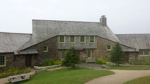
We headed out of the Bascom Lodge after some complimentary coffee and muffins. This was a nice place to stay. The bunk rooms were clean and we ended up being the only ones in the one we were in.

image

Bascom Lodge on top of Mt. Greylock

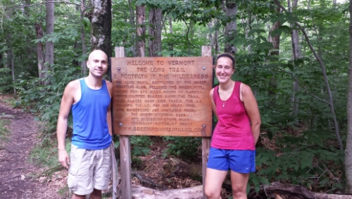
We had a steep descent off of Greylock and then crossed the Hoosic River. We then hiked up into the Green Mountains of Vermont. The AT and the Long Trail of Vermont run concurrent for around the next 100 miles.

image

Vermont! Yeaaaaa! Sweaty!

Super excited to be here in Vermont. I’ve asked every former thru-hiker we’ve met what their favorite section or state was and every one of them answered with either Vermont, New Hampshire, or Maine, so it’s really cool to be in this section of the AT finally.

The rest of the hiking day was uneventful. The trail in Vermont was pretty muddy as expected, but not waterlogged like Massachusetts was after the storms. The trail was gnarly, with a lot of rocks and roots, too. No worries though. There was about a 40% chance of storms all day, but it stayed nice and we avoided all of them.

We found a little flat spot just a few feet off the trail near this stream. It’s a pretty wet area. Tomorrow we keep pushing forward through the mud. The next planned stop is Manchester Center.

Vital stats for Friday, August 1st :
Milestones – less than 600 miles left to Katahdin, over 1600 miles hiked, and now in Vermont (11 states down, 3 to go)
Miles hiked today – 18.4
Mood – excited to be in Vermont, but bummed to be missing Musikfest back home in Bethlehem for the first time in forever. Can someone please chug a mug of beer for me?
Physical state – slightly muddy, but not bad
Smell – I’d like to think it hasn’t been that bad because it hasn’t been all that hot, but I probably smell like a trash can filled with raw sewage that’s on fire with rotted meat tied around it
Song stuck in my head – Welcome To The Jungle by Guns n Roses

Day 107 – Dalton, MA to Mt. Greylock (mile 1582.4)

We returned the very compact and economical Challenger this morning, despite the knowledge that we could get to Katahdin a bit faster in it than walking. After the return ride from Enterprise back to the Shamrock Village Inn, we departed for the trail. The Shamrock Inn was a nice place to stay and the innkeeper Laura was super friendly to us. Dalton was a good zero day town for sure. The rain was off and on in the morning before we left, but actually held out pretty much all day for us, which was amazing. It stayed really comfortable for hiking almost all day and we only had a tiny sprinkle of rain right at the end of the day and even that ended quickly. The trail had also drained back to a normal state. It felt really good to be hiking in dry conditions again. We felt like we were flying even though we had full packs and our biggest climb since Virginia. The climb at hand was up to Mt. Greylock, our first climb up over 3000 feet in over a month. It actually was pretty easy and graded pretty nicely.

image

Cool little pond on climb up to Greylock

There is an observation tower at the summit, but it was closed for repairs unfortunately.

image

Greylock tower

There are some cool views though at the summit. You can see into the Green Mountains in Vermont and even a few peaks in New Hampshire from there.

image

View from Greylock

We decided to stay at the bunk room in the Bascom Lodge, also at the summit of Greylock. The mileage worked out pretty much exactly to where we wanted to stop for the day anyway. While we were getting settled, clouds just completely rolled over the mountain within seconds. The view was gone literally 10 seconds after I took this.

image

Cloud taking over the mountain

Then after a brief rain, it blew out and we had a really great sunset.

image

Sunset on Greylock

It was a fun day of hiking. With the rain and waterlogged trails I can’t say we’ve had a lot of those of late, so it was a pretty awesome change.

Tomorrow we head out of the lodge and continue north towards the monsters. They are getting closer and closer and every day it feels like we’ll be there soon. We have some good milestones coming up tomorrow that I’m really excited about.

Vital stats for Thursday, July 31st :
Miles hiked today – 17.2
Mood – good
Physical state – good
Smell – like a cool piney breeze blowing off the mountain through the rocks and past the alpine brooks (ok ok, I mean tiny bar of soap)
Song stuck in my head – Don’t Cry For Me Argentina by Madonna from Evita (Why? Wtf? How does this even happen?)

Day 106 – Dalton, MA (zero day)

Today we took a nice relaxing zero here in Dalton. We rented a car, so we had some wheels to get around and make resupply and entertainment and such easier. Enterprise gave us a Dodge Challenger for some reason even though we only wanted and paid for an economy model, so we had a pretty fast ride. It’s fun to rip around in a car when you are used to going like 3 mph tops.

Tomorrow morning we head back to the trail. More storms are in the forecast, ugh!

Day 105 – near Bald Top to Dalton, MA (mile 1565.2)

We got a little more rain last night, but nothing crazy. The weather was in the 40’s this morning up in the Berkshire Mountains, so it was chilly for the first time in forever it seemed. It helped keep the mosquito swarm mostly at bay thankfully. The trail was still completely muddy and flooded though from the last couple of days. In some places it was 5 or 6 inches deep.

image

Mildly wet feet

This made the hiking pretty slippery and slow, unfortunately. We slogged through the slip and slide trail and made our way into town around 1:30pm. The trail goes right through Dalton, so it’s really convenient.

We are taking our first sweet, sweet zero day here tomorrow since Pennsylvania, so that’s really welcome after the last couple of days.

Vital stats for Tuesday, July 29th :
Miles hiked today – 13
Mood – towny
Smell – better than this morning
Physical state – normal
Song stuck in my head – Forget Me (from These Hopeful Machines continuous mix) by BT

Day 104 – East Brook to near Bald Top (mile 1552.2)

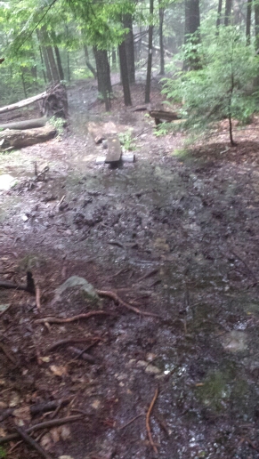
Today was wet. Not like a little, more like a whole ocean was dumped on the trail. The thunder started around 5:30am and poured torrentially for a quite a while. We stayed in the tarp and waited it out until it stopped, so we were around an hour late in getting started. By then, the trail was a muddy wet mess.

image

Massachusetts morning mud. I thought Vermont was supposed to be the muddy trail state, wtf?

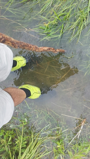
We had a lot of wet slogging as the trail was completely waterlogged for miles.

image

Slightly wet feet

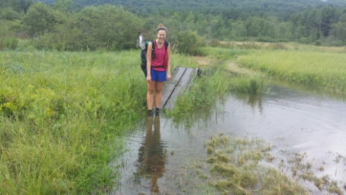
image

Get in! The pool water's fine!

The storms held off until around 4pm, when it began to thunder and downpour again. We hiked along through it as incredibly the trail got wetter and muddier. I’ve never seen anything like it. Other than our feet, we stayed mostly dry though. We kept our spirits up knowing that town and a zero day await tomorrow and Wednesday.

We camped on some relatively high ground not far past Bald Top, which was a pretty cool looking little mountain. We’ve got 13 miles to hit town (Dalton, MA) tomorrow. Hopefully most of the trail drains tonight!

Vital stats for Monday, July 28th :
Miles hiked today – 20.3
Mood – soggy
Physical state – normal
Smell – weird mix of bug spray and rain poncho
Song stuck in my head – Ingenue by Atoms For Peace