Monthly Archives: July 2014

Day 107 – Dalton, MA to Mt. Greylock (mile 1582.4)

We returned the very compact and economical Challenger this morning, despite the knowledge that we could get to Katahdin a bit faster in it than walking. After the return ride from Enterprise back to the Shamrock Village Inn, we departed for the trail. The Shamrock Inn was a nice place to stay and the innkeeper Laura was super friendly to us. Dalton was a good zero day town for sure. The rain was off and on in the morning before we left, but actually held out pretty much all day for us, which was amazing. It stayed really comfortable for hiking almost all day and we only had a tiny sprinkle of rain right at the end of the day and even that ended quickly. The trail had also drained back to a normal state. It felt really good to be hiking in dry conditions again. We felt like we were flying even though we had full packs and our biggest climb since Virginia. The climb at hand was up to Mt. Greylock, our first climb up over 3000 feet in over a month. It actually was pretty easy and graded pretty nicely.

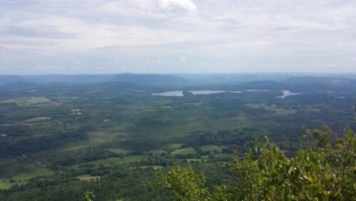
image

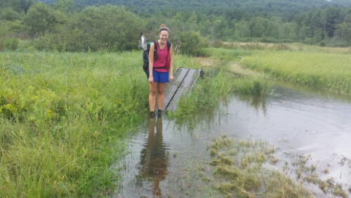
Cool little pond on climb up to Greylock

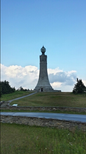
There is an observation tower at the summit, but it was closed for repairs unfortunately.

image

Greylock tower

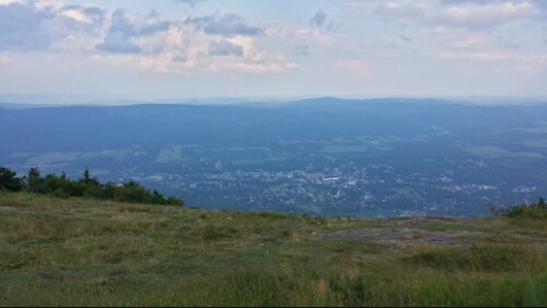
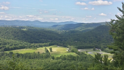
There are some cool views though at the summit. You can see into the Green Mountains in Vermont and even a few peaks in New Hampshire from there.

image

View from Greylock

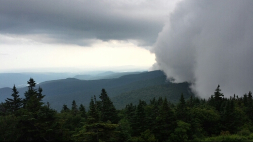
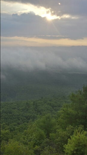
We decided to stay at the bunk room in the Bascom Lodge, also at the summit of Greylock. The mileage worked out pretty much exactly to where we wanted to stop for the day anyway. While we were getting settled, clouds just completely rolled over the mountain within seconds. The view was gone literally 10 seconds after I took this.

image

Cloud taking over the mountain

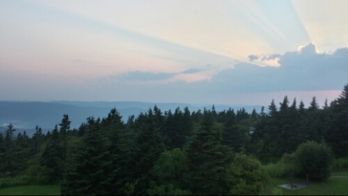
Then after a brief rain, it blew out and we had a really great sunset.

image

Sunset on Greylock

It was a fun day of hiking. With the rain and waterlogged trails I can’t say we’ve had a lot of those of late, so it was a pretty awesome change.

Tomorrow we head out of the lodge and continue north towards the monsters. They are getting closer and closer and every day it feels like we’ll be there soon. We have some good milestones coming up tomorrow that I’m really excited about.

Vital stats for Thursday, July 31st :
Miles hiked today – 17.2
Mood – good
Physical state – good
Smell – like a cool piney breeze blowing off the mountain through the rocks and past the alpine brooks (ok ok, I mean tiny bar of soap)
Song stuck in my head – Don’t Cry For Me Argentina by Madonna from Evita (Why? Wtf? How does this even happen?)
Day 106 – Dalton, MA (zero day)

Today we took a nice relaxing zero here in Dalton. We rented a car, so we had some wheels to get around and make resupply and entertainment and such easier. Enterprise gave us a Dodge Challenger for some reason even though we only wanted and paid for an economy model, so we had a pretty fast ride. It’s fun to rip around in a car when you are used to going like 3 mph tops.

Tomorrow morning we head back to the trail. More storms are in the forecast, ugh!

Day 105 – near Bald Top to Dalton, MA (mile 1565.2)

We got a little more rain last night, but nothing crazy. The weather was in the 40’s this morning up in the Berkshire Mountains, so it was chilly for the first time in forever it seemed. It helped keep the mosquito swarm mostly at bay thankfully. The trail was still completely muddy and flooded though from the last couple of days. In some places it was 5 or 6 inches deep.

image

Mildly wet feet

This made the hiking pretty slippery and slow, unfortunately. We slogged through the slip and slide trail and made our way into town around 1:30pm. The trail goes right through Dalton, so it’s really convenient.

We are taking our first sweet, sweet zero day here tomorrow since Pennsylvania, so that’s really welcome after the last couple of days.

Vital stats for Tuesday, July 29th :
Miles hiked today – 13
Mood – towny
Smell – better than this morning
Physical state – normal
Song stuck in my head – Forget Me (from These Hopeful Machines continuous mix) by BT

Day 104 – East Brook to near Bald Top (mile 1552.2)

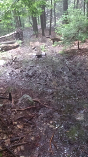
Today was wet. Not like a little, more like a whole ocean was dumped on the trail. The thunder started around 5:30am and poured torrentially for a quite a while. We stayed in the tarp and waited it out until it stopped, so we were around an hour late in getting started. By then, the trail was a muddy wet mess.

image

Massachusetts morning mud. I thought Vermont was supposed to be the muddy trail state, wtf?

We had a lot of wet slogging as the trail was completely waterlogged for miles.

image

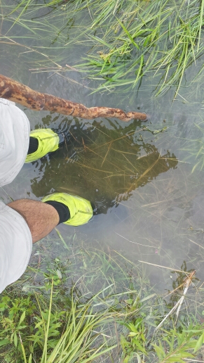
Slightly wet feet

image

Get in! The pool water's fine!

The storms held off until around 4pm, when it began to thunder and downpour again. We hiked along through it as incredibly the trail got wetter and muddier. I’ve never seen anything like it. Other than our feet, we stayed mostly dry though. We kept our spirits up knowing that town and a zero day await tomorrow and Wednesday.

We camped on some relatively high ground not far past Bald Top, which was a pretty cool looking little mountain. We’ve got 13 miles to hit town (Dalton, MA) tomorrow. Hopefully most of the trail drains tonight!

Vital stats for Monday, July 28th :
Miles hiked today – 20.3
Mood – soggy
Physical state – normal
Smell – weird mix of bug spray and rain poncho
Song stuck in my head – Ingenue by Atoms For Peace

Day 103 – near Jug End to East Brook (mile 1531.9)

We got up and on the trail pretty early today to make up some mileage and get closer to Dalton, MA, later in the week. The skies were threatening almost from sunrise on. We broke camp and got some hiking in before the storms, though. We had a lot of cool sun and mist coming off of the Jug End.

image

Jug End misty morning

The descent was pretty steep and rocky.

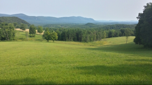
We hiked through a few scenic fields early, too.

image

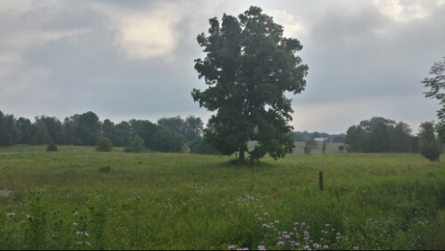
Massachusetts fields

A mile or two later, we hiked through a very neat pine forest. It was, however, inhabited by the most amount of mosquitoes I’ve ever seen. They were literally just swarming around our heads and packs. Thankfully the 100% DEET mostly works. As soon as you start to sweat it off though, the little blood suckers are on you. I thought the woods in PA had a lot of mosquitoes in the summer, but Connecticut and Massachusetts are way crazy worse.

Shortly after we went through Bugville, we got a couple big thunderstorms. We were under the forest canopy, but one thunderclap and lightning strike was really close to us and scared the living crap out of us (strangely enough, this improved my stench).

A lot of the hiking also was super muddy. I don’t know if it’s just because of the storms or if western Massachusetts is always just a giant bug swamp.

It was a tough day with the weather being uncooperative, the constant bugs, and the mud, but we hit our 20 mile goal. We camped not too far past the (swampy) East Brook. More storms are threatening for tonight and tomorrow, so that should give us some more muddy Massachusetts fun tomorrow. Oh yeah, I got stung by another yellow jacket today. I don’t know why those things have so much beef with me.

Vital stats for Sunday, July 27th :
Miles hiked today – 20.4
Mood – not bugging out
Physical state – tired from being extra careful on the wet and muddy trail today
Smell – a wretched concoction of wet dog, DEET, sweaty man stank, and Ramen noodles
Song stuck in my head – Matthew James by Bad Suns (can’t get this damn song out of my head)

Day 102 – Salisbury, CT to near Jug End (mile 1511.5)

We ate breakfast at Maria’s house this morning. She gives hikers 3 eggs each, toast, coffee, and fruit. She set everything out for us to make it ourselves. So freaking cute. Here she is with her friend Stefania.

image

Maria is wearing white

After breakfast and a bunch of chatting, she then gave us a ride back to the trail head so we didn’t have to road walk. It was around 10am by then, so it was much later than we’d like to have started, but it was well worth it because Maria is so awesome.

The hike was pretty nice today. Other than a tiny sprinkle of rain around lunch, the weather was perfect. We had some nice views from Bear Mountain and then later a lot of good ones from Mt. Race as we crossed into Massachusetts.

image

View from Mt. Race

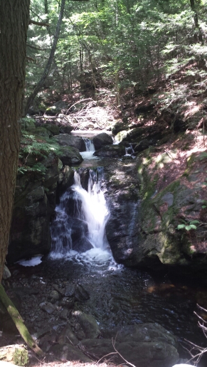
We also went through an area called Sage’s Ravine, which was really pretty. It had some falls and other scenery that reminded me of the falls trail in Rickett’s Glen State Park in PA.

image

Sage's Ravine

We later had a pretty good climb up Mt. Everett. It was fairly steep and rocky and I think indicative of some of the more challenging mountains to come in the near future. The elevation is also getting slightly higher now, as the climbs today were finally back up over 2000 feet in elevation for the first time since PA. We can also faintly see some of the bigger mountains off in the distance now to the north, which is so exciting.

Due to the late start, we didn’t get quite as far as we would have liked. We should be able to make it up pretty easily in the next few days, though. We found a nice breezy stealth spot up near a vista called the Jug End. Tomorrow we continue the trek through Massachusetts.

Vital stats for Saturday, July 26th :
Milestone – done with Connecticut, now in Massachusetts (10 down, 4 to go!). Also, 1500 miles hiked.
Miles hiked today – 15.8
Mood – excellent
Physical state – good
Smell – straight up DEET (lots of mosquito up in here)
Song stuck in my head – see awesomeness below
Rap –
Every 500 miles
I drop some dope freestyles
I usually rap on a log
to a frog but not on the blog
But for fifteen hundo
I’m giving you my thundo
So I ain’t got no streets
To drop all my dope beats
I just got gnarly trails
Filled wit bears, snakes, n snails
So just got 600 left to go
To work on my rap flow
By the time I be on Katahdin
Ya head be weaving and bobbin
Some of deez mountains be so sheer
When we climb we ain’t got no fear
Gonna be a rapper for ma next career
Peace out, time to grab a beer

Day 101 – Mt. Prospect to Salisbury, CT (mile 1495.7)

We took a leisurely approach to the day since we only had 4 miles to hike. We usually get up via my wristwatch alarm at 5:30 or 6:00am, but today we just slept in until the sun and birds made enough light and noise to get us moving. That ended up being near 8am, which was way later than I thought it would be, but was also really nice. The hiking was pretty easy and smooth pine forest again. We had more views of the upcoming mountains from a spot called Rand’s View.

image

Rand's View

The rest of the hike to town was uneventful. We road walked around a mile to town.

Salisbury is a quaint and tiny little town. It seems to have a fair amount of tourists rolling through. It kind of reminds me of a town like Lewes, Delaware, minus the beach, of course. It’s also pretty crazy expensive compared to some other trail towns. There aren’t any motels, hostels, or hotels in town, but a couple nice older ladies rent rooms to hikers. We are staying with a woman named Maria McCabe who was originally born in Germany. She’s a super cute old lady who is really nice and is hosting a childhood friend from Europe, who can’t really speak much English. Two interesting factoids that will only make sense to the Hnatow’s – her friend’s name is Stefania and Maria is like a German born clone of Mrs. Eagleton. It’s amusing to listen to them jump back and forth between a little broken English, German, and Italian. We got groceries, lunch, and iced coffees in town and spent the day doing a combination of planning for the next few weeks and straight up relaxing. Maria drove us to Lakeville to do laundry and get dinner at Mizza’s pizza, which was good stuff.

Tomorrow we head back to the trail and keep pushing northward.

Vital stats for Friday, July 25th :
Miles hiked today – 4.8
Mood – relaxed
Physical state – good, ready to keep moving forward
Smell – clean as a whistle
Song stuck in my head – Matthew James by Bad Suns

Day 100 – CT 4 to Mt. Prospect (mile 1490.9)

Wow, we hit 100 days already since this insane adventure started way back in April. That’s crazy. I can’t believe we are over 2/3 done already.

Last night was a good night to stay in town, as we had some severe storms roll through. Power went off and on a few times at the motel. We binge watched American Ninja Warrior. That looks like it would be rad to try. I’m sure I would fail miserably!

Anyway, today was a total opposite of yesterday in terms of hiker weather. It was perfect for hiking. We had a nice breeze and high 70’s all day. Fantastic. I think it majorly helped break our funk by having an afternoon off and a beautiful weather day today. We road walked back to the trail around 9:30am. We had a few small steep climbs again, but they were easier because it wasn’t 200 degrees. We had a view to the north of the upcoming Berkshire range in Massachusetts. We’ll be hitting those this weekend. It’s nice to see some bigger mountains again.

image

Berkshire Mountains seen from Northwest Connecticut

If you look closely, there is a race track in the valley in the picture above. It is the Skip Barber racing school according to Google Maps. We could hear the cars screeching around the course for a few miles.

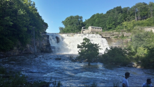
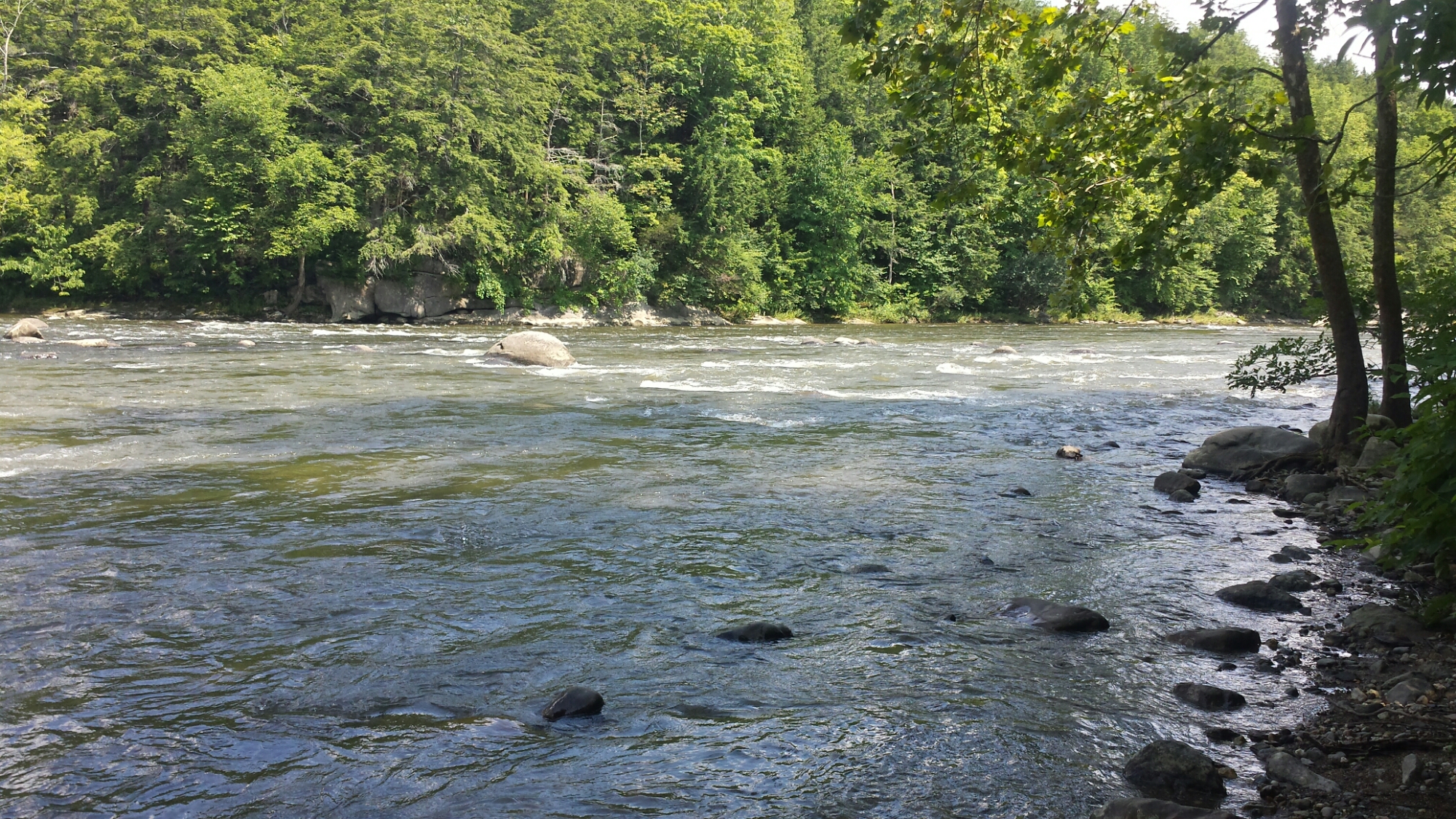
Later, we hiked along the Housatonic River again. This time we came close to an impressive waterfall.

image

Housatonic River falls

We hiked up past the river and camped near the summit of Mount Prospect in a nice pine forest. It’s another spot that would be really awesome if it weren’t for the hoards of mosquitoes!

Tomorrow we are taking a planned nearo and resupply day in Salisbury, CT. We only have 4 miles or so to get to town, so it’s really close to an actual nearo for us, not one of these 15 mile “nearo” days that we were doing in the past.

Vital stats for Thursday, July 24th :
Milestone – less than 700 miles left to Katahdin
Miles hiked today – 16.6
Mood – great
Physical state – normal
Smell – tolerable, and I’m going to shower again tomorrow, a rare feat of showering more than once a week
Song stuck in my head – Hannah Hunt by Vampire Weekend

Day 99 – near NY/CT border to CT 4 (mile 1474.3)

Today was insanely hot and humid. It felt like an oven out here on the trail, making even the relative short climbs of Connecticut tough. Fatigue was setting in quickly today. There are definitely some steep chutes here, though, in particular a descent near something called St. John’s Ledges. I’m not sure if I’ve ever sweated that much in my entire life. To make things even more pleasant, the mosquitos and gnats are just out of control here. Yuck.

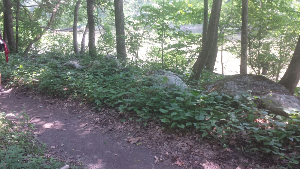
On the positive side, a good 4 miles or so cruised along by the Housatonic River, which was super flat and easy hiking.

image

Trail with the Housatonic River in the background

We decided to call it a day in the early afternoon because it was so hot, there are a plethora of small towns around here with places to stay, it was predicted to storm pretty hard (it did), and because we can do whatever we feel like doing on any given day (one of the best things about doing this). We road walked the mile or so into the tiny town of Cornwall Bridge and got a room at a small motel called The Hitching Post. It’s not as bad as it sounds. The shower (I took mine very, very cold) was amazing.

Vital stats for Wednesday, July 23rd :
Miles hiked today – 15.3
Mood – much better after a nice cold shower
Physical state – good
Smell – a lot better than this morning
Song stuck in my head – Lost In My Mind by The Head And The Heart

Day 98 – Nuclear Lake to near NY/CT border (mile 1459)

We had something rustling around last night near the tarp. I was in a bit of a coma, so I didn’t react much, but Trippy heard it. It went away though, so nothing really came of it. However, as we hiked away from the lake in the morning, we saw the biggest bear we’ve seen to date (#12) lumber across the trail. He just kind of sauntered along at his pace and didn’t care about us. For fear of mauling, I didn’t get any good pictures. We wondered if he was our nighttime neighbor, though. Yikes.

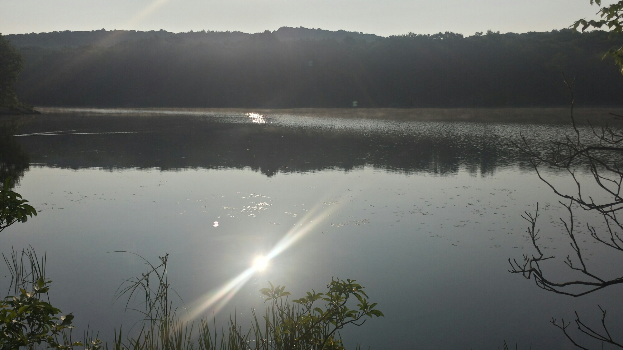
Anyway, here is the lake.

image

Nuclear Lake

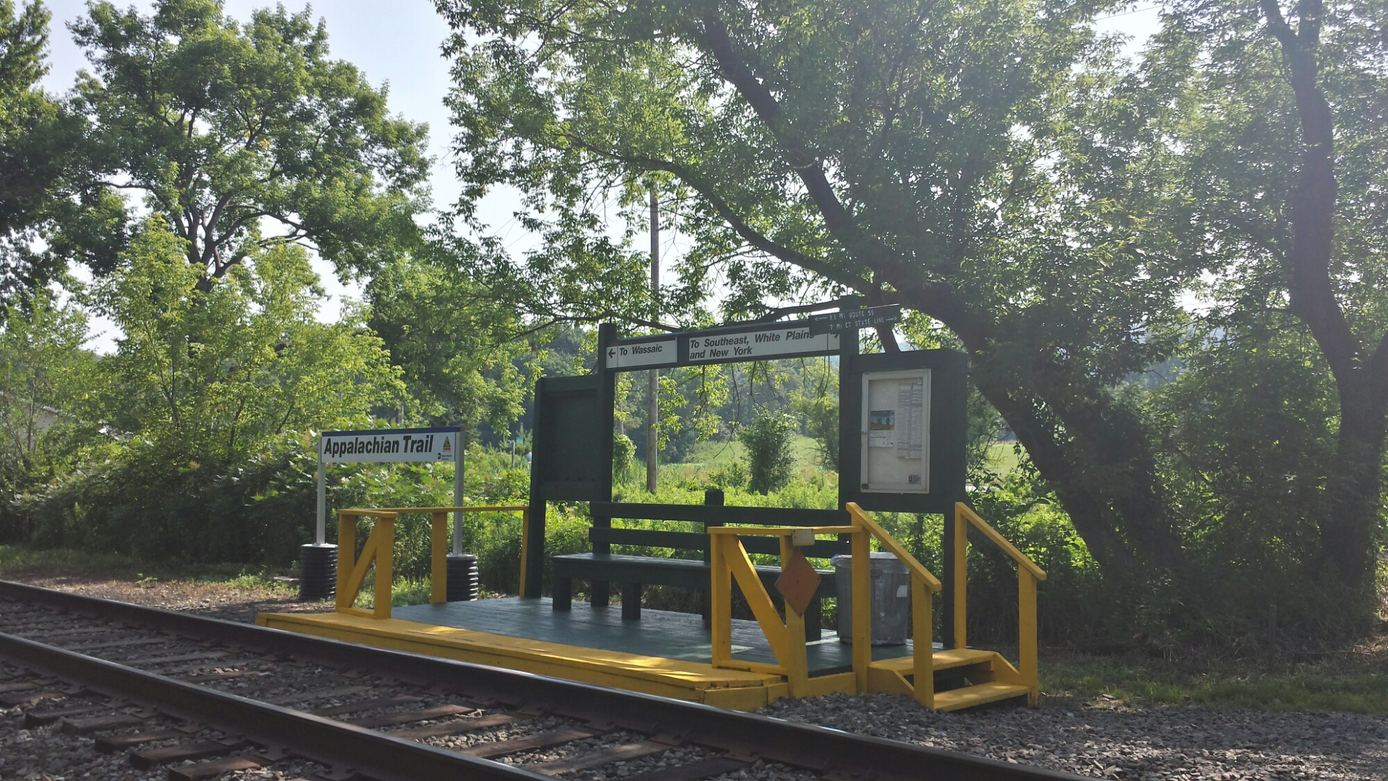
The weather was really hot and sweaty today. We passed by the Appalachian Trail stop on the metro North NYC train. You can ride it all the way to Grand Central. I don’t think we were dressed appropriately for Manhattan.

image

Appalachian Trail train station

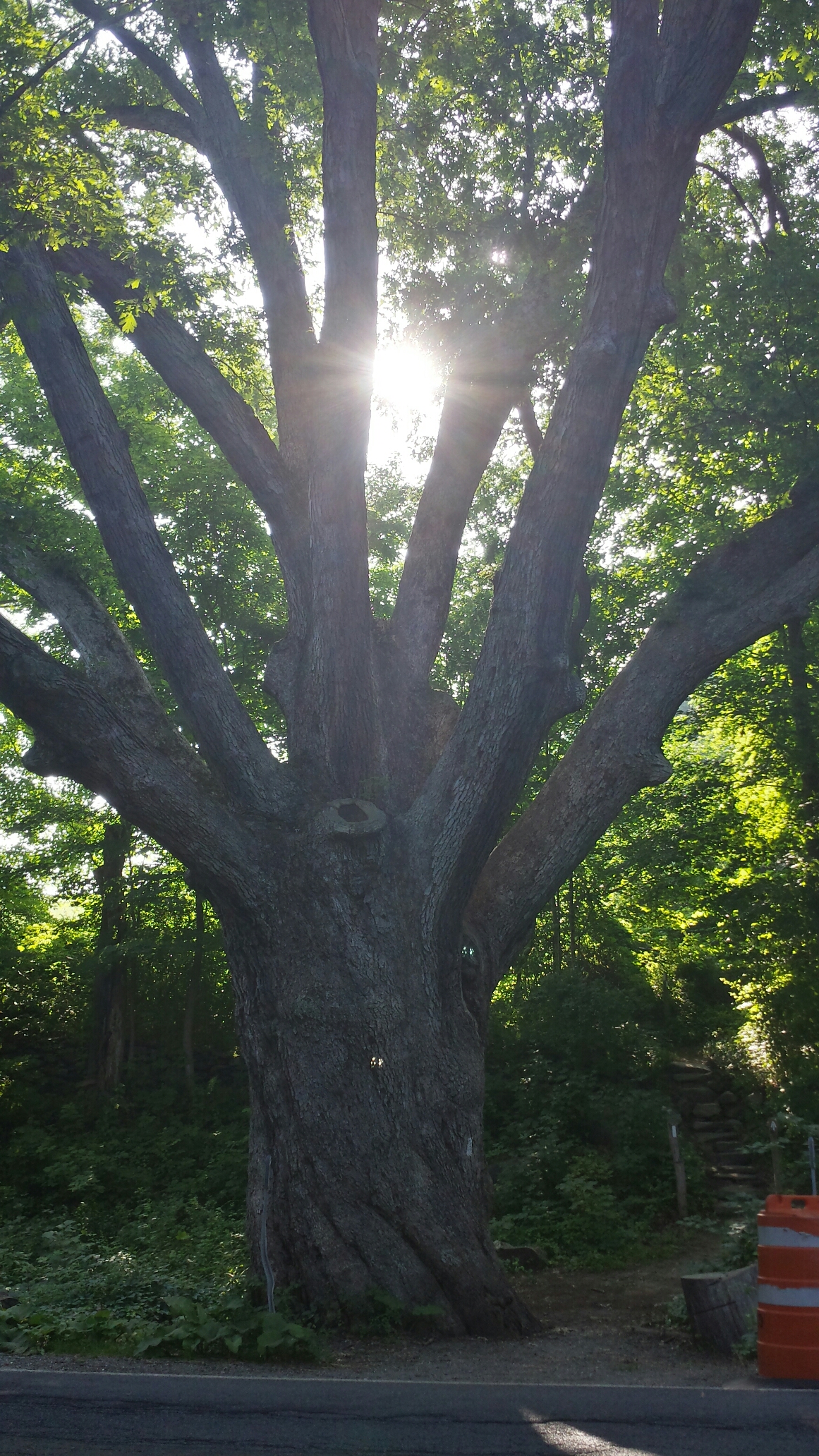
One cool thing we hiked by today was the Dover Oak, considered the largest and probably oldest tree on the AT at over 300 years. It’s right off a road, so it’s not in the nicest setting (like the Keffer oak back in Virginia), but it was awesome nonetheless.

image

Dover Oak

Throughout the day, we hiked into Connecticut, then briefly back into New York, then back into CT for good. The trail does this, we were not being indecisive about what direction to go in. We hiked past the Ten Mile River and hung out there for a while because it was a nice spot that wasn’t too buggy.

image

Ten Mile River

We camped a tenth of a mile or so from the (final) NY – CT border near a little stream. If it weren’t for the insane droves of bugs, it would be a really ideal spot.

Vital stats for Tuesday, July 22nd :
Milestone – finished NY, now in CT (9 down, 5 to go)
Miles hiked today – 20
Mood – morale was a bit low today with the sweltering heat and tons of bugs. We think we’re fighting off our “Virginia blues” late, since we had PA to look forward to through VA. However, it feels great to check another state off the list.
Physical state – tired from the heat, but fine otherwise
Smell – giant vat of sauerkraut mixed with ammonia
Song stuck in my head – Cardiac Arrest by Bad Suns