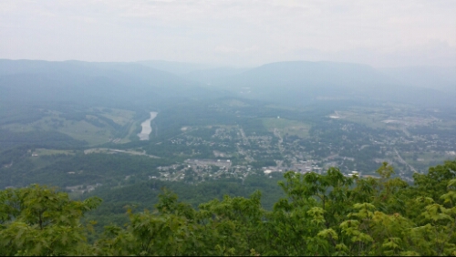
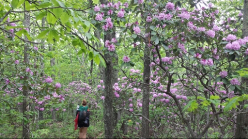
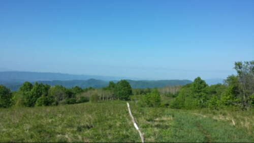
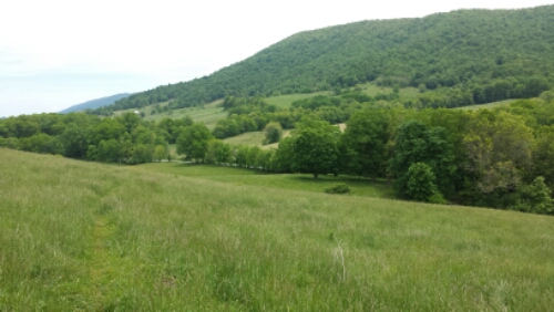
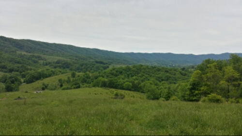
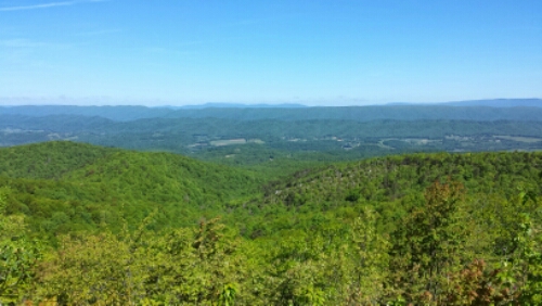
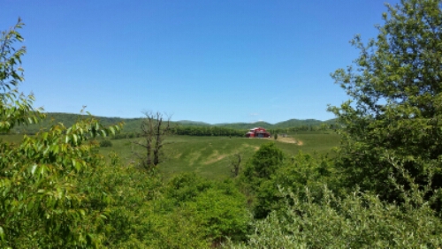
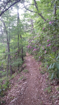
We ate breakfast at hippie land ranch and hit the trail to Pearisburg around 9:30am. Breakfast was delicious. We needed to head into Pearisburg to resupply and send back our winter gear (coming your way Packey and Tapey). Woohoo, lighter packs! We hiked the 11 miles or so and got to town around 2pm and did our errands and decided to stay put at a hiker hostel. The motels in town are apparently all sold out because they are occupied by contractors working on a large local construction project. We are some of the older people in this joint. The weather forecast looked pretty bad for the night with some big storms and heavy rain predicted (which hit the area in the afternoon hard), so it made that decision easy. It’s been super muggy down here, so hopefully these storms break that. The hike was one of the more scenic ones we’ve had in the last week or so, so that was cool.
Monthly Archives: May 2014
Day 43 – Kimberling Creek to Woods Hole Hostel
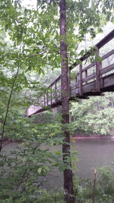
We got up a bit earlier and hit the trail by 7:15am or so. The suspension bridge over the creek where we camped was neat.
Day 42 – mile 584 to Kimberling Creek
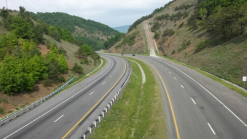
We hit the trail a little before 8am to sunny skies. The weather threatened all day, but we only got a little rumble or two and some sprinkles in the late morning. We did some road walking (the trail took us that way) and crossed over I-77 early on.
Day 41 – mile 563 to mile 584
We headed out and finished the climb up to Chestnut Knob first thing. It had some bald views of the Virginia ridges.
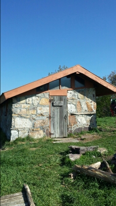
The shelter at the summit had a door, which is highly unusual for a shelter.
Day 40 – Atkins, VA to mile 563
We headed out of the Relax Inn and grabbed breakfast at The Barn, which is basically a diner-ish restaurant across from the truck stop near where the trail goes under I-81. It was pretty good stuff. We hit the trail around 9am. It was pretty similar to the past few days with rolling ridges and occasional farmland pasture/meadow crossings.
Day 39 – mile 530 to Atkins, VA (Relax Inn)
We made our way out of camp and towards Atkins by 8am. The hike was mostly easy terrain, with some minor elevation change. We eventually started seeing farms and hearing the familiar highway noise of I-81. The Relax Inn is right off an exit and the trail goes through an underpass here.
Day 38 – Fox Creek to mile 530
Another night without Internet. Wtf? 😉 Actually I’m surprised this only happened now in Virginia, we seem to be closer to civilization here than in most of NC or TN. I can’t live without Interweb!!! Continue reading
Day 37 – Whitetop Mountain to near Fox Creek
We had some intense severe thunderstorms throughout a lot of last night. We were safely tucked away below the exposed ridge / bald of Whitetop Mountain though. Continue reading
Day 36 – Damascus, VA to Whitetop Mountain
We headed out of the Hiker’s Inn around 8am and grabbed some iced coffees and breakfast on the way out of town. Delish! We hit the trail by 9am feeling good. Most of the day was not filled with any grand views, but was pretty nonetheless.
Day 35 – Damascus, VA
Nothing much to report from today. This is a good town to take a zero, rest, and resupply. We are excited to get back on the trail in a fully healthy state!
