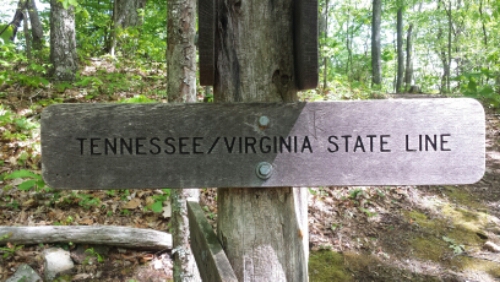
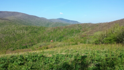
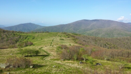
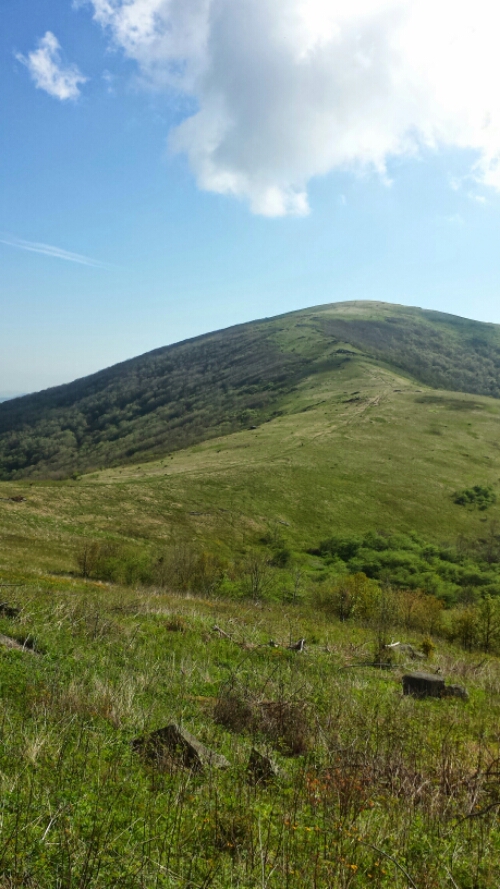
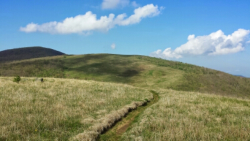
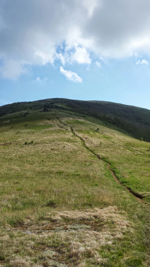
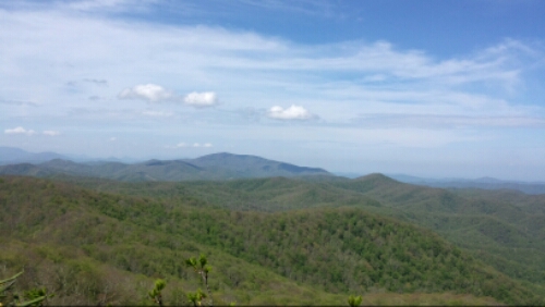
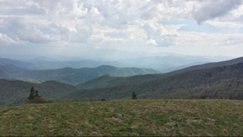
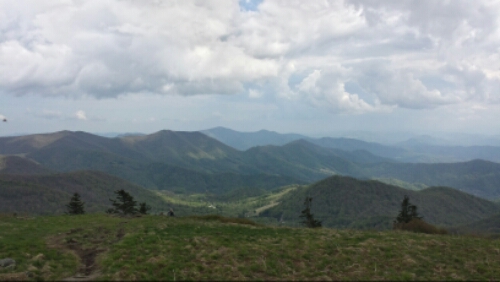
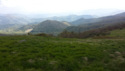
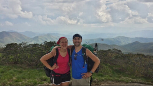
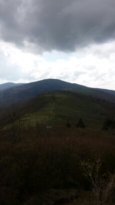
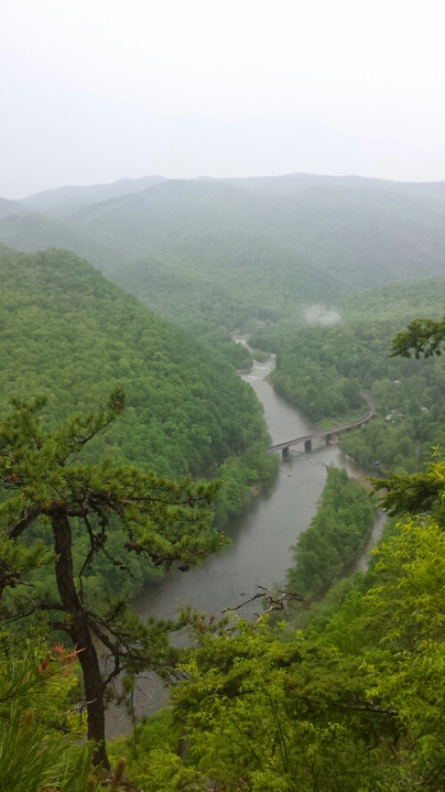
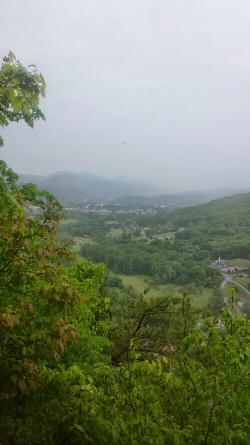
A long night of sleep got us back up and on the trail before 8am today. Feeling much better. We hiked 12.5 easy miles or so to Damascus by noonish. It was super exciting to cross the border into Virginia. We are now done with the first 3 states!
Monthly Archives: May 2014
Day 33 – mile 442 to Double Spring Gap
Very shortly after posting to the blog last night, my stomach started feeling like someone was repeatedly punching it. This turned into no fun real quick, as dinner (and a giant Snickers bar for dessert) came back up. Ugh. Writhing in pain in the middle of a very cold woods is pretty terrible. Not sure what hit me, but I slept it off for the most part other than some fatigue and dehydration. So we took it a bit slower than planned today and made an earlier than planned camp after about 12.5 miles. Definitely feeling much better now, so it doesn’t appear to be the norovirus that has struck a lot of hikers and usually takes them out for 3-4 days. We suspect maybe some bad water? Continue reading
Day 32 – Pond Flats to mile 442
We had another intruder last night. This time thankfully it was just a small mouse that scurried away without any bellowing or spear chucking. Continue reading
Day 31 – mile 408 to Pond Flats
We were rudely awakened around 2am by our first up close and personal wild life experience on the trail last night. I heard a scratching noise and turned to see a gallon ziploc bag that we had garbage in disappearing from the head end of the tarp, just about 2 feet from my head. I also saw a grey appendage or something or other in the misty moonlight grabbing said garbage bag. I began to bellow very loudly at the intruder and it dropped the bag and scurried away. Katie went out quickly and saw the culprit. It was a big fat old racoon. It didn’t scurry too far. We began to hurl insults and sticks at it. I channeled my father from Locust Lake circa early 90s. The racoon watched us and was unimpressed until some of the impromptu javelin tosses almost took it out. Then it scampered up a tree until I kept hurling stuff when it finally ran away for good. That was fun. The rest of the night was uneventful.
Continue reading
Day 30 – Campbell Hollow to mile 408
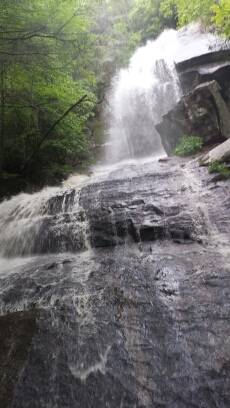
We had some intense rain and storms over night, but stayed dry under the tarp. The morning had some off and on showers, but wasn’t too bad for hiking. The trail was virtually empty today, probably mostly because of the weather, but also because a lot of hikers are hitching in to Damascus, VA, for the Trail Days festival this weekend. Ironically, we had lots of streams and waterfalls that we hiked past on a rainy and cool day.
By early afternoon, it started to majorly downpour. We called it an early day to dry out after about 12 soggy miles. We are also slowing our pace a bit to avoid the Trail Days festival and get to Damascus on Monday, because we need to resupply and do other errands and the town supposedly gets pretty overrun during the festival. The storms are mostly supposed to blow out tonight, so looking forward to some dry hiking again tomorrow. The trail here is definitely the easiest we have encountered thus far. Continue reading
Day 29 – Mountain Harbour B&B to Campbell Hollow
Today we got held up by some errands and such in town, so we got a very late start. We only hiked a little over 4 miles before setting up a solid camp to get through the nasty storms expected to roll in here late tonight (and all day tomorrow). Mountain Harbour was great and it was tough leaving. The breakfast was enormous and so good. Highly recommend this place.
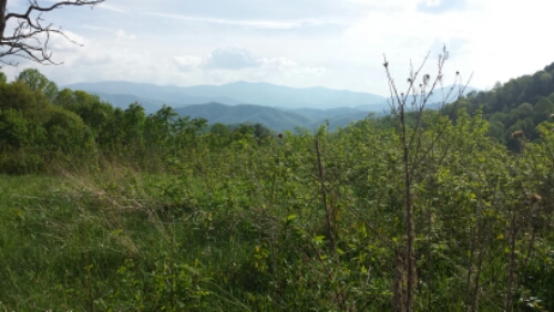
We had one nice view on a ridge.
Day 28 – Overmountain Shelter to Mountain Harbour B&B (Roan Mtn, TN)
We woke up in the shelter and hit the trail to already balmy temperatures around 8:15am. The barn shelter was really unique, but still a shelter with loads of snoring, a sick guy (seriously not cool), and such. Not my cup of tea.
We only planned about 8-9 miles today to get to the hostel, but they were over 2 more balds. Both were steep and had some really great views.
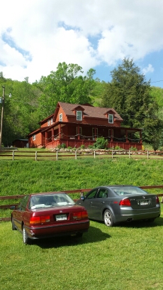
The rest of the hike was pretty but uneventful. We hiked down the trail and about .3 miles off of it to the Mountain Harbour Hostel / B&B. This place is really nice and a huge step up from some of the prior establishments that we have stayed at so far (no sarcasm). We hung out with some other thru-hikers (from the notorious Highway Shrimp gang… Don’t ask…) for the afternoon as more thunderstorms rolled through. We went into the town of Roan Mountain and got some pizza and milkshakes for dinner, which was also quite good. Definitely a great spot to take a nearo day. We hit a nice milestone today by leaving North Carolina for good.
We are now in Tennessee only until we hit Virginia. Prior to this the trail snaked back and forth between the border of North Carolina and Tennessee.
Vital stats :
Mood – good
Physical state – rested up
Smell – actually clean for once
Song stuck in my head – Numerous songs from Throwing Copper by Live (one of the hikers we met today, Tanner, loves Live and said I looked like Ed, their former lead singer)
Day 27 – Iron Mountain Gap to Overmountain Shelter
We had a nice night at our site and headed out at 8am for a big day. We had a morning climb up to a summit called Little Rock Knob with some nice views. It was a rocky and strenuous climb. Anytime they name something a knob down here we’ve learned it is always a wicked climb and this was no different.
We later began the 4 mile ascent to Roan Mountain. This was, in my opinion, the most challenging climb we’ve had so far. The last mile or so was extremely vertical with very few switchbacks (so it was pretty much just straight up the mountain) and really rough terrain and trail conditions. It was a lot of fun! There weren’t really any views on Roan itself, but it led to several balds with amazing vistas.
The downside was that a large thunderstorm was threatening as we hustled across these balds. It seems like every time we approach a bald, a storm threatens. Oh well! It held out until we got off them thankfully, but we did get rained on for the last hour or so of our hiking day. Continue reading
Day 26 – Erwin, TN to Iron Mountain Gap
Happy Mother’s day! Continue reading
Day 25 – Spivey Gap to Erwin, TN
We woke up this morning to more rain, so we took it slow and waited to pack up camp until it stopped. After that, we hiked down towards Uncle Johnny’s Nolichucky Hostel about 10 or 11 miles to get our mail drop. It started raining on us again pretty heavily around lunch, so it made the decision to stop here for the day pretty easy.
