Monthly Archives: June 2014

Day 53 – Harrison Ground Spring to VA 607

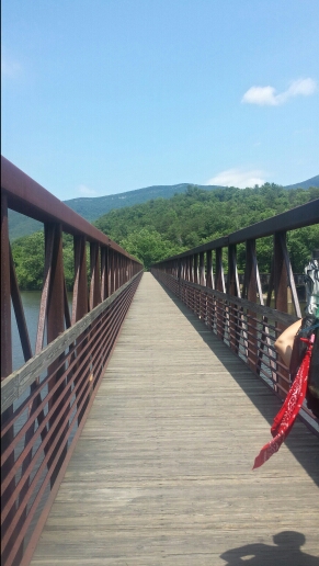
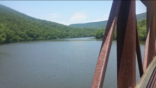
We had another day of some fairly large climbs. Today the weather was definitely sweatier than it’s been of late, so that made it a bit tougher. The first climb was up Highcock Knob in the morning. That one wasn’t too bad. Then we descended down to the James River. We crossed it on the longest foot bridge on the AT, roughly a 1/4 mile long.

image

Crossing the river. Food awaited.

image

Looking at the James River

Some hikers jump in, but it looked a bit sketchy and dirty so we didn’t. Also, the YWAM group was having a hiker feed in the parking lot on the other side, so screw swimming in a dirty river when delicious hot dogs and hamburgers await. We had heard about this feed for the last couple days, so we were excited for it. We were not disappointed, as we rocked numerous dogs, burgers, sodas, and watermelon slices. Good stuff. Pretty cool of them to offer up food for all the thru-hikers in the neighborhood. Continue reading
Day 52 – Cove Mountain to Harrison Ground Spring

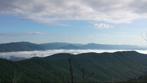
We started off the morning with a descent down Cove Mountain with some cool views of the morning fog and clouds down in the valleys.

image

Views off Cove Mountain

Continue reading

Day 51 – Daleville, VA to Cove Mountain

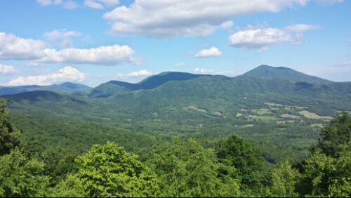
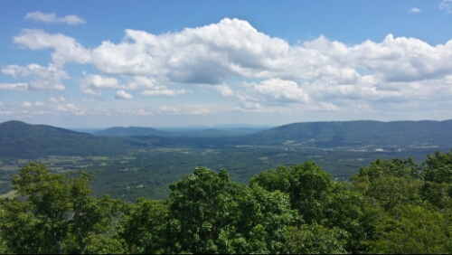
We dined on the exquisite HoJo breakfast buffet and then hit the trail around 8:15am. The trail was mostly smooth and easy today. It began to run mostly parallel with the occasional intersection with the Blue Ridge Parkway. I think it stays near the Parkway for about the next 100 miles or so. We saw a bunch of the nice views that the Parkway has to offer of the Virginia valleys and mountains.

image

Blue Ridge Parkway

image

More BRP

We saw a number of black snakes, ticks, and a turtle. All of these are pretty much daily occurrences now (ugh ticks everywhere now). It was a really enjoyable day of hiking with perfect partly sunny and breezy weather all day. Tomorrow we have a few challenging climbs on the agenda. Continue reading

Day 50 – Daleville, VA

Today was a nice leisurely zero day. We enjoyed some iced coffees, Mexican food, and some Busch pounders and Miller Lites by the HoJo pool with Oregon, Lil Bit, and some other thru-hikers. The pool was a little chilly but Oregon and I jumped in. Otherwise not much else to report from today. We thankfully avoided a few large thunderstorms by taking the zero today. Continue reading

Day 49 – Lambert’s Meadow to Daleville, VA

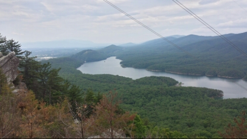
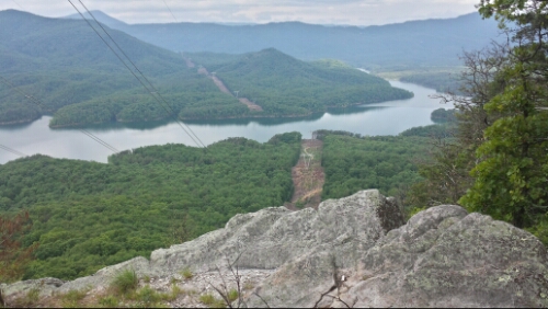
We hit the trail around 8am today for a half day of hiking into Daleville. The trail was mostly easy hiking with a few rocky ridges to traverse. There were a couple powerline views of nearby Carvin’s Cove Reservoir.

image

Agua

image

More agua

Continue reading

Day 48 – near Pickle Branch Shelter to Lambert’s Meadow

Wow, today was basically the epitome of great scenery on the AT. Continue reading

Day 47 – mile 671 to near Pickle Branch Shelter

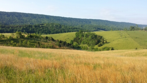
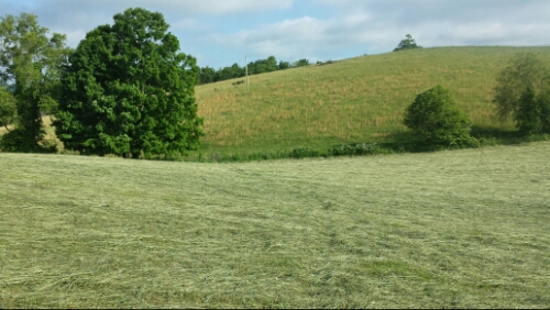
Early today we traversed through some really idyllic farmland.

image

Rolling pastures

image

Fresh cut field with trail crossing it

Really neat farmland scenery. Shortly after, we passed by the approximately 300 year old Keffer Oak.

image

I think it’s so super cool that a tree like this survived so much. Being around giant old trees like this give me the chills. (There is supposedly one bigger along the AT in New York.) Continue reading

Day 46 – mile 651 to mile 671

We hit the trail around 7:30am today. We passed by a “hiker feed” at a dude’s house who is simply named “The Captain”. This is something he apparently does roughly two weeks after Trail Days every year. He makes a crap-ton of free food for hikers. His house is literally right across a creek from the trail and he has a zip line to get there. Pretty badass, but it was too early in the morning for us to stop in when we got there. Anyway, I’ll come back to him. Continue reading

Day 45 – Pearisburg, VA to mile 651

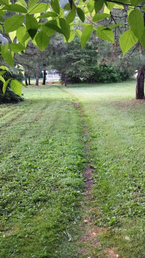
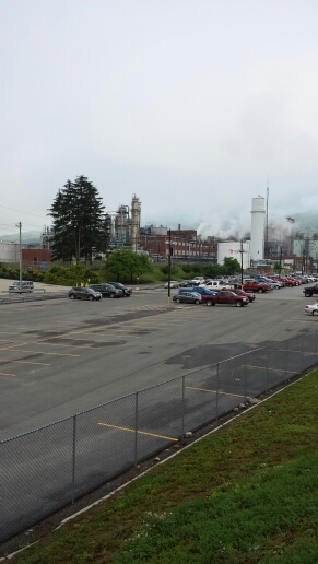
We headed out of the hostel by 7:30am while most of the youths were still snoozing away drunkenly. We had an extra mile or so today from town to get back to the trail. Yesterday we were fortunate enough to get a lift into town from a church group who is doing a portion of the trail together called Y-Wam (I think?). We have chatted with them a few times and they’ve been really nice. Anyway, we had heavy packs from the resupply. We just go nuts at the grocery store when we buy supplies and get way too much. It’s always fun to eat it all though after we lug it up the mountain. The trail traversed through a yard and then some wooded areas right by some industrial plants outside Pearisburg.

image

Yea right through some dude's lawn...strange

image

So scenic

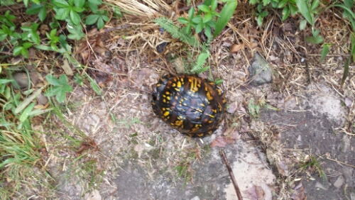
We ascended out of town, which is always steep it seems. We encountered this little guy on the trail.

image

A turtle doing its turtle thing

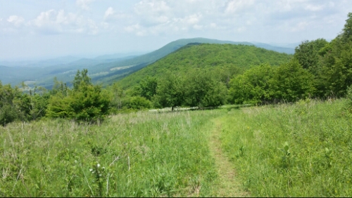
We had a couple nice views from some of the ridges today. We were basically right on the Virginia-West Virginia state line on this ridge. I think we stay on the border for a bit here (but don’t actually go into WV for quite a while).

image

West Virginia off the left/west

Continue reading