Monthly Archives: August 2014

Day 127 – near Mount Clay to near Pinkham Notch (mile 1866.2)

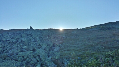
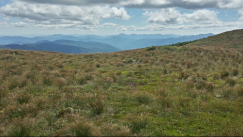
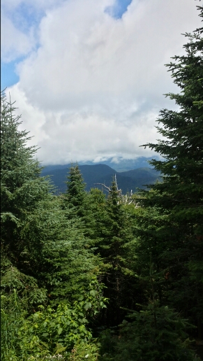
We departed our crummy campsite after a not so great night of sleep (due to the crumminess) around 7. We climbed the mile back up to the Northern Presidential Ridge and continued trekking away from Mount Washington. We could hear the sounds of the sightseeing “cog” train every so often. We had some nice morning sun and great weather again all day.

image

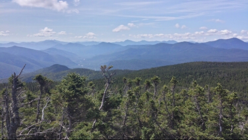
Morning sun coming over the Presidential Ridge

image

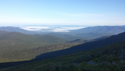
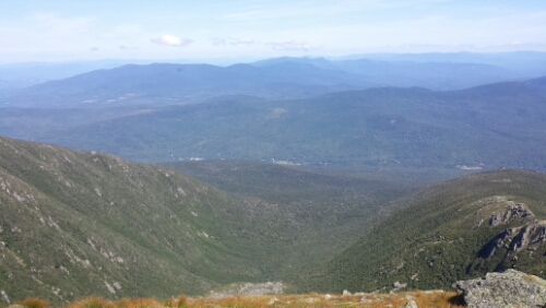
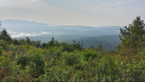
Clouds down in the valley below us

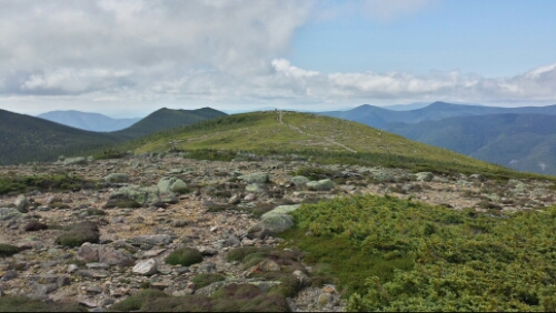
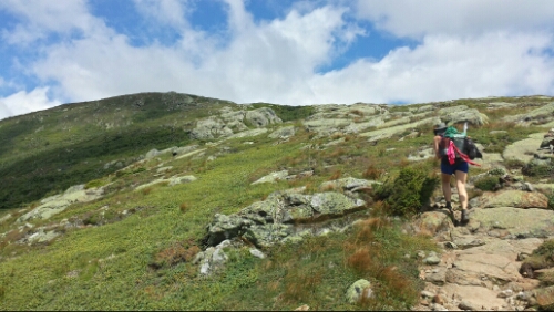
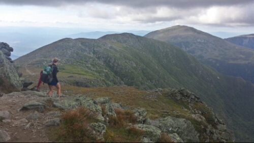
The trail snaked up and down the ridge past Mount Jefferson, numerous Mount Adams, and other probably crappier president’s mountains. There were many huge rocks to hop over and across, so our pace was pretty slow. The views were just as stunning as yesterday as we finished the climb over Mount Madison and descended off the massive and steep ridge finally around lunch. It feels like you’re on top of the world up on that ridge.

image

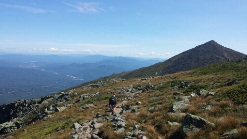
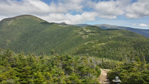
Trail approaching Mt. Madison

image

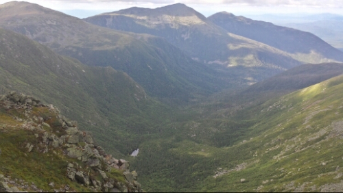
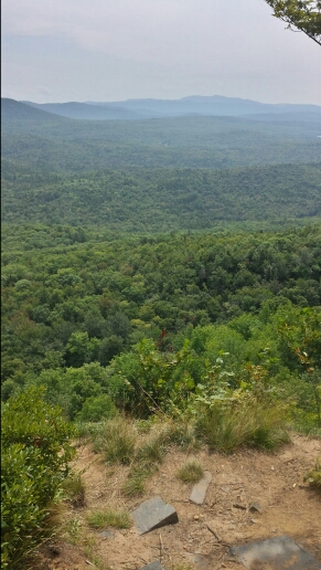
Ravine and mountains off to the northwest

After we got off the ridge, we hiked through part of the Great Gulf Wilderness. Then we crossed the Mt. Washington auto road and hiked down to Pinkham Notch. We stopped at the visitor center for a snack and grabbed our maildrop. Then we hiked on for another quarter mile or so and found a really pleasant campsite tucked back a couple hundred yards from the trail. Another really great day here in the Whites. Tomorrow morning we climb the extremely steep Wildcats, but we are nearly complete with the Whites.

Vital stats for Wednesday, August 20th :
Miles hiked today – 12.4 (plus bonus mile from Jewell Trail campsite)
Mood – awesome
Physical state – good
Smell – 5 days of tough hiking… Wretched onions
Song stuck in my head – Meow! Meow! Space Tiger by Rx Bandits

Day 126 – near Kedron Flume Trail to near Mount Clay (mile 1853.8)

We had a very nice and uneventful night. No puddles and no rain! We got up and descended down to Crawford Notch, crossed route 302, and then began the 12+ mile terraced ascent up to Mount Washington. The first climb was up to Webster Cliffs. It was very steep and had a few scrambles, but didn’t slow us down much. There were some great views off of it.

image

We kept going up and up. Some of the climbs had big scrambles and were slow, some were pretty gentle for the Whites. We made our way to the first hut of the day, Mizpah Springs, and stopped for a snack. Score, they had leftover chicken, couscous, rice pudding, etc. We helped them with a few super easy chores like sorting some recycling from the guests in return, as is the custom for thru-hikers. We met another thru-hiker named 6 slash from Bethlehem, which was cool and random. After that, we got up and above tree line. This time, unlike the other day, it was epic in a good way. We had views literally all day as we kept going up to Washington.

image

image

image

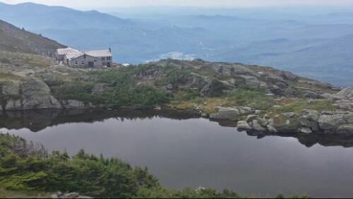
We then made it to the next hut, Lake of the Clouds.

image

Lake of the Clouds Hut

We stopped in for a break, but didn’t attempt to get any extra food as it was crazy full of people.

Next, we ascended to Washington. The final climb of 1.3 miles was rocky, but not too bad considering the rest of the trail here. It was a bit cloudy up there. It was also a circus, with seemingly millions of tourists milling about from their cars, the train, hot air balloons, escalators, elevators, and whatever other means there are to getting up there. We stopped in the snack bar and ate more, but left shortly after.

The views continued to be amazing on the north side of the mountain.

image

Great Gulf Wilderness

image

We continued on to a side trail called the Jewell trail and took it down almost a mile to get back to under the tree line to camp. We found a crummy spot down there that we grudgingly took, but we can’t sleep up above tree line and we have a lot of miles left on the AT before we descend below it tomorrow. That kind of sucked, but oh well.

Really a fantastic day of hiking with spectacular weather and views. We could see some of the peaks in western Maine looming off in the not too far distance, so that was absolutely thrilling to see for the first time, too.

Vital stats for Tuesday, August 19th :
Miles hiked today – 15.3 (plus bonus mile down Jewell Trail to get under tree line)
Mood – excellent, fantastic day in the Whites
Physical state – the Whites are tiring!
Smell – criminal
Song stuck in my head – Shine by Wild Belle

Day 125 – near Garfield Pond to near Kedron Flume Trail (mile 1838.5)

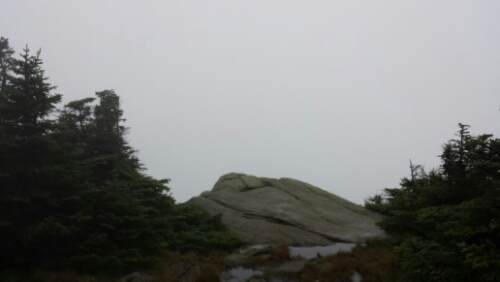
After the rough day yesterday, we were awoken even more roughly around 4am by the encroachment of a large puddle in our sleeping area. Ugh, we slept in a basin in the pseudo-established site we were in. That was totally a horrible way to start the day. It poured for a good chunk of the night when the forecast said it was supposed to be mostly dry. We should have known to not trust the forecast here in the Whites. We were mostly dry, but some clothes, our sleeping pads, and some other gear was wet. By 5 or so, we decided to just get up and get moving and dry our stuff out later. The trail was misty and raw and cold, so it was a pretty miserable morning. We climbed Mount Garfield to no views again because of the seemingly constant cloud we were in.
image

Mount Garfield view

The descent, as usual, was really slow, slick, and tough. We had multiple minor slips and falls going down. The trail is so insanely rugged here compared to the rest of the AT.

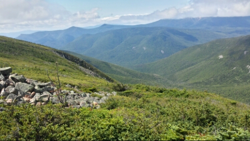
After we got over that, we started the climb up the big mountain of the day, South Twin. Part of the way up though there is a hut named Galehead. Our day got considerably better from this point on I’m happy to report. We went in, warmed up, and bought some hot coffee, cake, carrot bread, and soup from the hut. This was amazing after being frozen, wet, and cold. We then headed up South Twin. The climb wasn’t too bad as far as the Whites go (meaning it’s still harder than pretty much everything else). Also, the clouds started to break up. We saw the sun finally. We rejoiced triumphantly like we had something to do with it! The mist blew out and finally saw why so many people said they love the Whites (we were really really really starting to hate them). We climbed the smaller Mount Guyot to amazing views.
image

So these are the rumored Whites

image

Summit of Mount Guyot with open ridge above tree line snaking away

It was spectacular. We also had enough sun to mostly dry all our wet crap out at lunch.

We then gradually descended to the next hut at Zealand Falls. Trippy asked them about leftovers from last night and they gave us a giant platter of stuffed shells. They were super nice. They sometimes give these to thru-hikers so they don’t have to pack it out and hike it out in their trash. What a great “snack”, 1000 or more calories of super cheesy pasta.

To make things even nicer, we had a good 6 mile stretch or so with easy trail after that hut. After having so much difficult trail in the past few days, it was more than welcome.

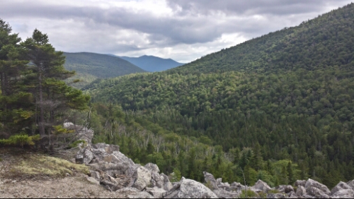
Tomorrow we summit Mount Washington, the second highest peak on the trail behind only Clingman’s Dome, which we did way back in early May in the Smokies.
image

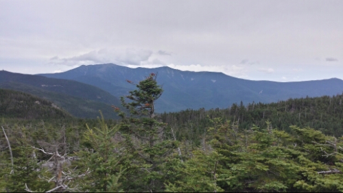
Mount Washington looming in the back

We found a very stealthy site that is not in a basin a couple hundred yards off the trail on the descent down to Crawford Notch.

Vital stats for Monday, August 18th :
Miles hiked today – 17.3
Mood – so glad the weather and the day turned for the better
Physical state – beat from the tough trails, but good
Smell – week old turkey sandwich
Song stuck in my head – Here Comes The Sun by The Beatles

Day 124 – mile 1808.6 to near Garfield Pond (mile 1821.2)

We had some rain showers last night, so everything was cold and damp this morning. The Whites seem to be very damp almost all of the time from what we’ve seen thus far. We got up and hiked down to Lonesome Lake and the hut that is there. Lots of people who stayed at the hut were milling about as we grabbed some potable water and went on our way.

image

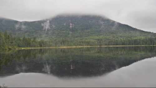
Lonesome Lake with funky reflection

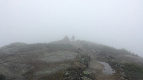
We descended down to Franconia Notch and went under I-93. Then we began the big climb of the day, up to Franconia Ridge. This was a steep and arduous hike. It wasn’t a scramble like Kinsman, but it was rocky, long, and hard. It was a little misty, cold, and windy as we hiked up onto the ridge. We got up to the 2 mile long open ridge above the tree line around 1pm or so. It was foggy and we were in a cloud without any views, but fine otherwise.

image

Cairn and Trippy off in the cloud

image

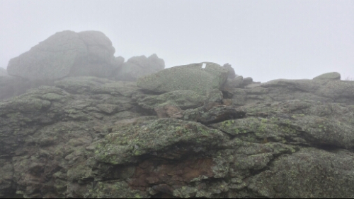
Rock scrambles up near Mount Lincoln

As we got closer to the end of the open Franconia Ridge near Mount Lafayette, the rain picked up. Then shortly after that, the wind got intense. Then we started to get some small hail or sleet or something similar, too. I usually ask former thru-hikers what their least favorite section is (along with their favorite), and a number answered with, “The Whites, if you have bad weather”. I get it now. It was freaking atrocious up there in the storm. It was super cold and the wind gusts were blasting us around (and there isn’t a lot of room to get blasted up there without flying off the cliffs). It was intensely powerful and scary and it came on so fast we literally had no time at all to get out of it. We were fairly lucky that we weren’t too far from the tree line. We moved as fast as we could, which wasn’t fast at all, to get down and under some cover. The rain was blowing sideways, so it was impossible to stay dry. The wind was whipping really hard (AMC caretaker said ~60 mph) and it was in the 40’s up there, so once we got wet my fear was hypothermia. We kept moving though and stayed warm enough. It definitely got a lot better once we were below the tree line again. We hiked on for a few more miles, but called it an early day to dry out and warm back up (nothing like some delicious Ramen noodles to heat the hypothermia out of your body!).

Tomorrow we are hoping for some clear weather and to make up a few miles. So far the Whites have been quite a test.

Vital stats for Sunday, August 17th :
Miles hiked today – 12.6
Mood – glad to be warmed back up, hopeful we don’t have to deal with that kind of weather again
Physical state – ok, no major problems
Smell – unclear, nose froze off, only two semi-useless holes left on face where nose used to be
Song stuck in my head – none today, too much wind!

Day 123 – Kinsman Notch to mile 1808.6

After breakfast at the Greek restaurant / diner in town, we checked out of the Autumn Breeze Motel (nice place) and called the Shuttle Connections lady again and got shuttled back to the trail around 9:45am. It was overcast mostly today, but the temperature stayed nice and cool for hiking. We ascended up to the Kinsman Ridge, which was rocky and slow hiking, but not too bad. We spent a chunk of the time remaining in the morning navigating through that and then we started the big climb of the day up to the Kinsman Mountains. We had heard that the ascent up to South Kinsman was a real tough rock scramble and indeed it was.

image

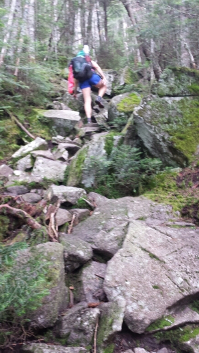
Trippy navigating up the rocks

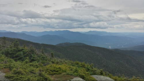
The last mile was very slow going. We popped out above the tree line for a short while though once we hit the summit. The views were outstanding.

image

View from South Kinsman

image

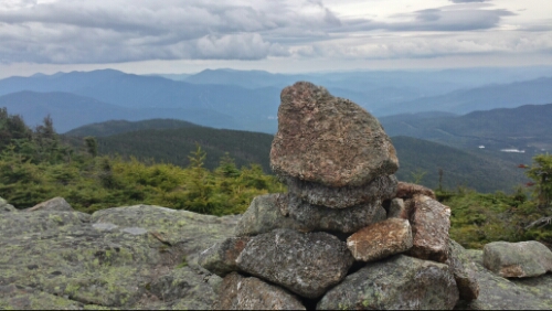
Cairn marking trail in foreground with White Mountains looming in the background

image

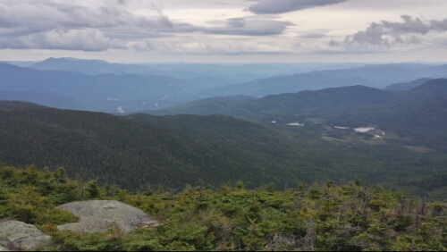
More views off South Kinsman

image

Franconia Ridge (we climb that tomorrow)

It was really cool to have these great views after the hard work. We then crossed over to the North Kinsman summit and then descended. The descent was very rocky and slow, also. We made our way down and found a small established campsite maybe a 1/2 mile from Lonesome Lake and it’s hut. They have these rustic huts up here in the Whites that are available for people to rent. They are apparently popular with many day hikers, but are a bit pricey ($125 per person) for having no showers and “composting” toilets. I can not take a shower for free out here!

We are scaling our planned daily miles back here in the Whites to between 13-15ish because it’s so challenging. Today we were a little short due to the late start, but it seems like finding stealth camping here is going to be tough, so we figured we shouldn’t pass up a nice flat spot.

Vital stats for Saturday, August 16th :
Milestone – 1800 miles in the books
Miles hiked today – 12.7
Mood – good
Physical state – feeling it in the knees and legs a bit more after the tough descents
Smell – aight, for now
Song stuck in my head – Today by The Smashing Pumpkins

Day 122 – North Woodstock, NH

We had a luxurious zero day of doing almost nothing. It was amazing. We had some breakfast at the Woodstock Inn with copious amounts of supposedly local maple syrup, did laundry at the nearby laundromat, drank some beer and wine, watched a lot of TV, and had a huge amount of Chinese food for dinner. It was pretty ideal for a zero.

image

Tomorrow we head back to the White Mountains and have the wicked South Kinsman Mountain to tackle. The weather forecast looks good, so we are stoked to get back out there.

Day 121 – Hikers Welcome Hostel to Kinsman Notch (mile 1795.9)

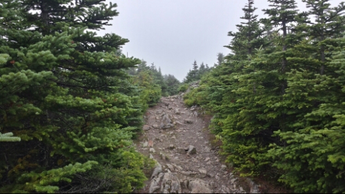
We got up this morning after an action packed night of old dudes farting and snoring like buzz saws. Ahh hostels…will not miss them at all I think. The power was still out there from last night, so we resorted to hiker gruel for breakfast. We headed out around 8am and almost immediately started the climb up Moosilauke. The ascent was big and steep, but not as bad as I thought it would be. It was rocky and rooty, but didn’t require any scrambles or any major changes to our pace. It was wet and slick though and we climbed up in a cloud of mist. We eventually hit the tree line, where the trees are 8 feet tall or shorter or nonexistent, and it was misty and mysterious looking up on top of this giant.

image

Climbing above the tree line on Moosilauke

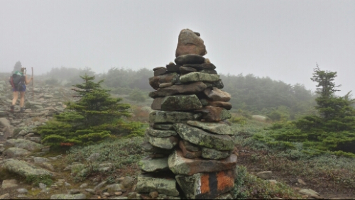
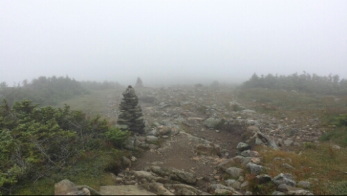
The trees disappeared up on the summit. They use rock cairns up here above tree line to mark the trail. It gave it a cool look in the mist.

image

Cairn marking the trail on top of Moosilauke, Trippy hiking along it

image

Trail following the misty cairns

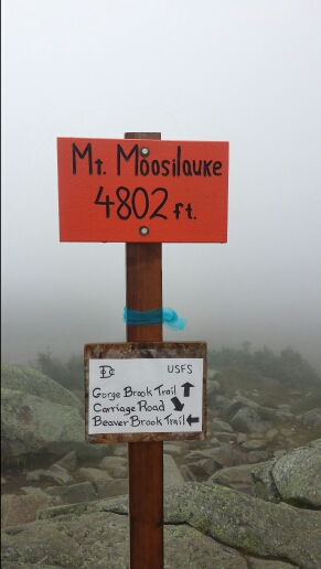
We hit the actual summit and had no views unfortunately.

image

Where are we?

Kind of a bummer, but we were psyched to be on top of this monster nonetheless.

We headed down quickly because the wind was insane up there. It was quite cold and damp. The descent started slowly enough and it actually started to clear up as we went down a bit on the north side.

image

View from the Beaver Brook Shelter at lunch

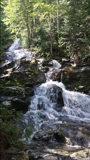
After the shelter, the descent got crazy. It was super steep, like no other climb down we have had. We moved at only about 1.5 mph at best because of all the slick rocks. It was really beautiful though, as much of it went down along a gushing waterfall.

image

Waterfall on north side of Moosilauke

image

Wood blocks fastened to the rock helped along some of the brutal descent

We eventually climbed down many slick and dangerous rocks and got to Kinsman Notch around 2pm, which was a parking lot and a small mountain highway. We needed to get into North Woodstock to grab a maildrop at the post office. We tried to hitch for a bit, but had no luck, probably because I was creeping peeps out. Another thru-hiker named Billy Goat came down and we all called a shuttle service to get to town 5 miles away. We got to town and promptly decided to take a zero day here tomorrow. Both of us are feeling a bit fatigued and we’d like to rest a bit more before tackling more of the challenges ahead. North Woodstock seems like a tourist town with a lot of cool things to check out. I approve of the microbrewery in town, named the Woodstock Inn.

Vital stats for Thursday, August 14th :
Miles hiked today – 9.3
Mood – psyched to have done Moosilauke (and it wasn’t that bad)
Physical state – good
Smell – New England fresh
Song stuck in my head – Southern Cross by Crosby, Stills, and Nash

Day 120 – near Hexacuba Shelter to Hikers Welcome Hostel (mile 1786.6)

We set the alarm for 5am today to try to get on the trail and up over Mount Cube before the worst of the storms. It started to drizzle around 4:40am, so we didn’t quite beat all the rain. We climbed up Cube, which was rocky and very exposed. The wind was gusting pretty heavily by this time. We had a slow and wet descent down off of the mountain. The rain was off and on throughout most of the morning, but the wind kept blowing hard. We trudged through it. The trail was pretty deserted for obvious reasons. By lunch, it was pouring, blowing everywhere, and getting very cold. We slogged through the remaining 5 miles or so and road walked about a half mile to the hostel. It was pretty full of hikers staying dry, but we managed to get a bunk and dry out for a bit. The wind and storms only got worse, as two nearby huge tree limbs came down while we hung out in the hostel. One of them, the size of most trees, absolutely crushed a large compost bin the hostel owner had built himself. Luckily, no one was hurt. It was nice to not be out during some of this intense storm, as it was not fun hiking through it.

On the positive side, we got the cards and care package from Will and the Lutron gang. That totally made a crappy day awesome. Many many thanks guys. Roughly half the food was eaten in minutes.

The storms have blown out, so tomorrow we head over the massive Mount Moosilauke, our official entry to the White Mountains. Other than Katahdin itself, this is the one climb that I’ve been dreaming about since we started this crazy trip. It’s over 4 miles up to the summit and nearly 4500 feet of elevation gain.

We are now heading into the final and by far most difficult stretch of the trail with the Whites and western Maine coming up in the next few weeks.

Vital stats for Wednesday, August 13th :
Milestone – less than 400 miles left to Katahdin
Miles hiked today – 14.5
Mood – thankful for the goodies and to be dry, psyched for the Whites
Smell – hostel clean
Song stuck in my head – Salt by Bad Suns

Day 119 – Mink Brook to near Hexacuba Shelter (mile 1772.1)

After an uneventful night, we headed up Moose Mountain first thing in the morning. We hit the south peak and chatted with a guy who told us he lives on a nearby road. He had a cute little golden retriever puppy with him. It turned out he and his son are both PSU alum. WE ARE!

image

Morning view from Moose Mountain South peak

We then crossed over to the north peak, which had no view, then descended down and immediately began the next ascent up to Holt’s Ledge. This was a steep chute up to a viewpoint right on the side of a sheer cliff.

image

After that little dirt patch, it's a crazy high cliff

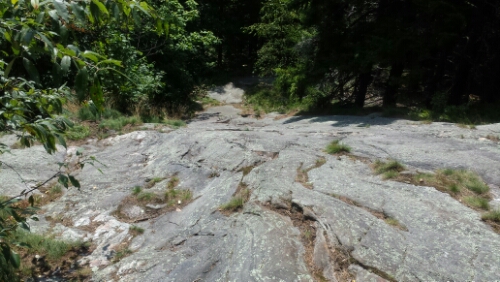
We hiked along the side of the cliff for a bit, then descended down again. After lunch, we started the big climb of the day, up to Smarts Mountain. We are definitely back in challenging climbing territory. Smarts was a beast, the first half was loaded with steep granite rock climbs (you just kind of hope your shoes are gripping it) and the second half was just a monstrously steep 3/4 mile hill up to the peak.

image

Perspective is hard to see here, but this is a really steep granite "trail"

The bummer was that the fire tower with the views at the top was closed for repairs. I was tempted to sneak up, but there was some crap about a $5000 fine. Then we descended down Smarts, which was over 4 miles of descent and was much easier trail than the ascent side.

We have been keeping an eye on the weather for tomorrow, which looks atrocious. They are calling for heavy storms and flooding all day. Yeaaaaa what a great day to hit the Whites! We decided to push farther than planned today at least part of the way up the last Mountain before the Whites, Mount Cube, in order to slightly minimize our stormy hike to Glen Cliff tomorrow. We found a flat spot and stealth camped roughly 1/4 past the Hexacuba Shelter. It was a very challenging day to hike 20 miles. Tomorrow we will have around 14 miles to hit the Hikers Welcome hostel in Glen Cliff, where we plan to stay for the afternoon and night due to the predicted weather.

Vital stats for Tuesday, August 12th :
Miles hiked today – 20.4 (probably our last 20!!)
Mood – good, other than the annoyance of the predicted crapola weather tomorrow
Smell – worse than the puppy breath from little puppy we saw this morning
Song stuck in my head – Lost by Frank Ocean

Day 118 – West Hartford, VT to Mink Brook, NH (mile 1751.7)

Last night we stayed in Randy and Linda’s garage loft thing with a couple of other thru-hikers, including a SOBO (South bounder) named Roadrunner and a NOBO couple named Aquaman and Tricks, who we haven’t seen since really early in Virginia. It was cool to hang out with people that we haven’t seen for over 1000 miles. It was also cool to get some firsthand info about the challenges we have coming up in the Whites and Maine from Roadrunner.

Anyway, as rumored, Linda made everyone bacon, eggs, and coffee. They didn’t ask for anything in return, but could easily have charged for everything they gave us. Aquaman, Tricks, and us ended up giving them a few bucks to help pay for some of the hiker food since they were so generous to us.

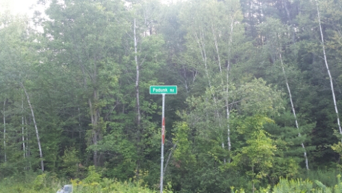
We left town around 8:30 or so and headed out. I was amused by this road name near West Hartford.

image

Podunk Road? Lol wtf really?

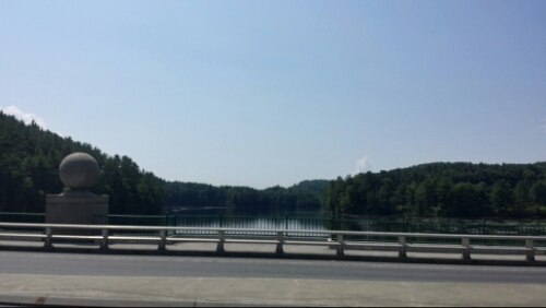
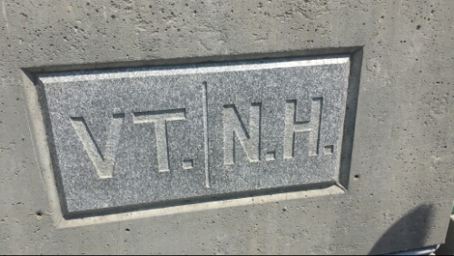
We did a good bit of road walking today. First we went through Norwich, VT, which looked like a nice little town. Then we crossed the Connecticut River and headed into New Hampshire.

image

Connecticut River

image

New Hampshire, baby!

The trail went right down the main street by Dartmouth in Hanover, NH. It was packed with people getting lunch, milling around, smelling like they showered this week, wearing nice clothes, that sort of thing. We got some looks for sure. We grabbed lunch at a mediocre burrito place called Boloco, which was like a cruddy version of a dumpy Chipotle. We then stopped at the food co-op grocery store on the way out of town and got a few minor resupplies for the next couple of days. It would have been tempting to stay had there been a couple cheaper places in town, but that didn’t seem to be the case, so we pushed on. We had a few steep climbs once we got off the road, but the trail was a little easier overall than yesterday. No real views unfortunately, but I predict both the easier trails and the lack of views will end as of tomorrow and go pretty much until we are done with this crazy journey.

We camped in an established spot right next to the Mink Brook at the base of Moose Mountain.

Vital stats for Monday, August 11th :
Milestone – done with Vermont, now in New Hampshire (state 13 of 14!)
Miles hiked today – 18.4
Mood – great to be in NH, getting psyched for the White Mountains
Smell – criminal
Song stuck in my head – It Wasn’t Me by Shaggy